
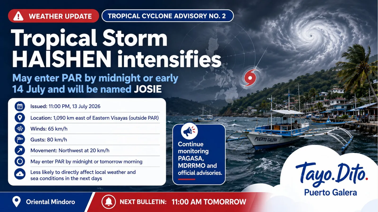
Tropical Storm Haishen (possible local name Josie) may enter PAR tonight — PAGASA advisory
PAGASA says Tropical Storm Haishen, expected to be named Josie inside the Philippine Area of Responsibility, could enter PAR by late tonight or tomorrow morning. The storm is currently far east of Eastern Visayas and is forecast to weaken, but residents and local offices should monitor updates.
Tropical Storm Haishen may enter PAR tonight; residents advised to monitor updates
The Philippine Atmospheric, Geophysical and Astronomical Services Administration (PAGASA) issued Tropical Cyclone Advisory No. 2 at 11:00 PM on Tuesday, 13 July 2026, reporting that Haishen has intensified into a tropical storm. The agency says the system could enter the Philippine Area of Responsibility — PAR — by late tonight or tomorrow morning and would be assigned the local name Josie while inside PAR.
At 10:00 PM on Tuesday, PAGASA estimated the centre of Tropical Storm Haishen to be around 1,090 kilometres east of Eastern Visayas (11.8°N, 135.7°E), well outside the PAR. The storm’s maximum sustained winds were put at 65 kilometres per hour near the centre, with gusts up to 80 kilometres per hour and a central pressure of 1002 hPa.
PAGASA reported the system moving northwestward at about 20 kilometres per hour and noted that strong winds extend outward up to 480 kilometres from the centre. The agency forecasts Haishen will continue moving west-northwest for the next 12 hours, then move generally northward and turn north‑northeast while inside PAR before exiting by Wednesday, 15 July.
Forecasters expect the tropical cyclone to steadily weaken due to unfavourable environmental conditions and said it is less likely to directly affect weather and sea conditions in the coming days. Nevertheless, PAGASA advised the public and disaster risk reduction and management offices to continue monitoring official updates.
Local residents and mariners in Puerto Galera and Oriental Mindoro should keep an eye on PAGASA bulletins and follow instructions from municipal disaster response units. PAGASA’s advisory notes that the next regular tropical cyclone advisory will be issued at 11:00 AM tomorrow unless there is an intermediate issuance. The full advisory is available from DOST-PAGASA: tinyurl.com/tropical-cyclone-advisory.
- Advisory issued: 11:00 PM, Tuesday, 13 July 2026
- Location (10:00 PM): about 1,090 km east of Eastern Visayas (11.8°N, 135.7°E) — outside PAR
- Intensity: maximum sustained winds 65 km/h, gusts up to 80 km/h, central pressure 1002 hPa
- Movement: northwestward at 20 km/h
- Wind radius: strong winds up to 480 km from centre
- Forecast: may enter PAR by late tonight or on Wednesday morning (14 July) and be named Josie; expected to weaken and exit PAR by Wednesday, 15 July
Tip or correction?
The Tayo Dito team reviews corrections and extra tips before publication.



Comments
0 comments
No comments yet.
Write the first note. It becomes visible after editorial approval.